| diagram | 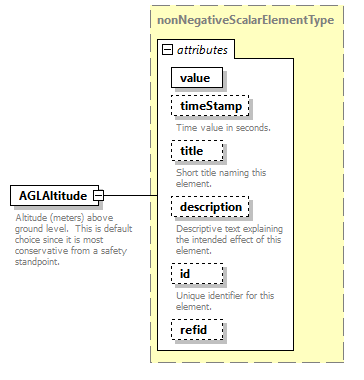 |
||||||||||||||||||||||||||||||||||||||||||||||||||
| type | nonNegativeScalarElementType | ||||||||||||||||||||||||||||||||||||||||||||||||||
| properties |
|
||||||||||||||||||||||||||||||||||||||||||||||||||
| used by |
|
||||||||||||||||||||||||||||||||||||||||||||||||||
| attributes |
|
||||||||||||||||||||||||||||||||||||||||||||||||||
| annotation |
|
||||||||||||||||||||||||||||||||||||||||||||||||||
| source | <xsd:element name="AGLAltitude" type="nonNegativeScalarElementType"> <xsd:annotation> <xsd:documentation>Altitude (meters) above ground level. This is default choice since it is most conservative from a safety standpoint.</xsd:documentation> </xsd:annotation> </xsd:element> |
XML Schema documentation generated by XMLSpy Schema Editor http://www.altova.com/xmlspy