| diagram | 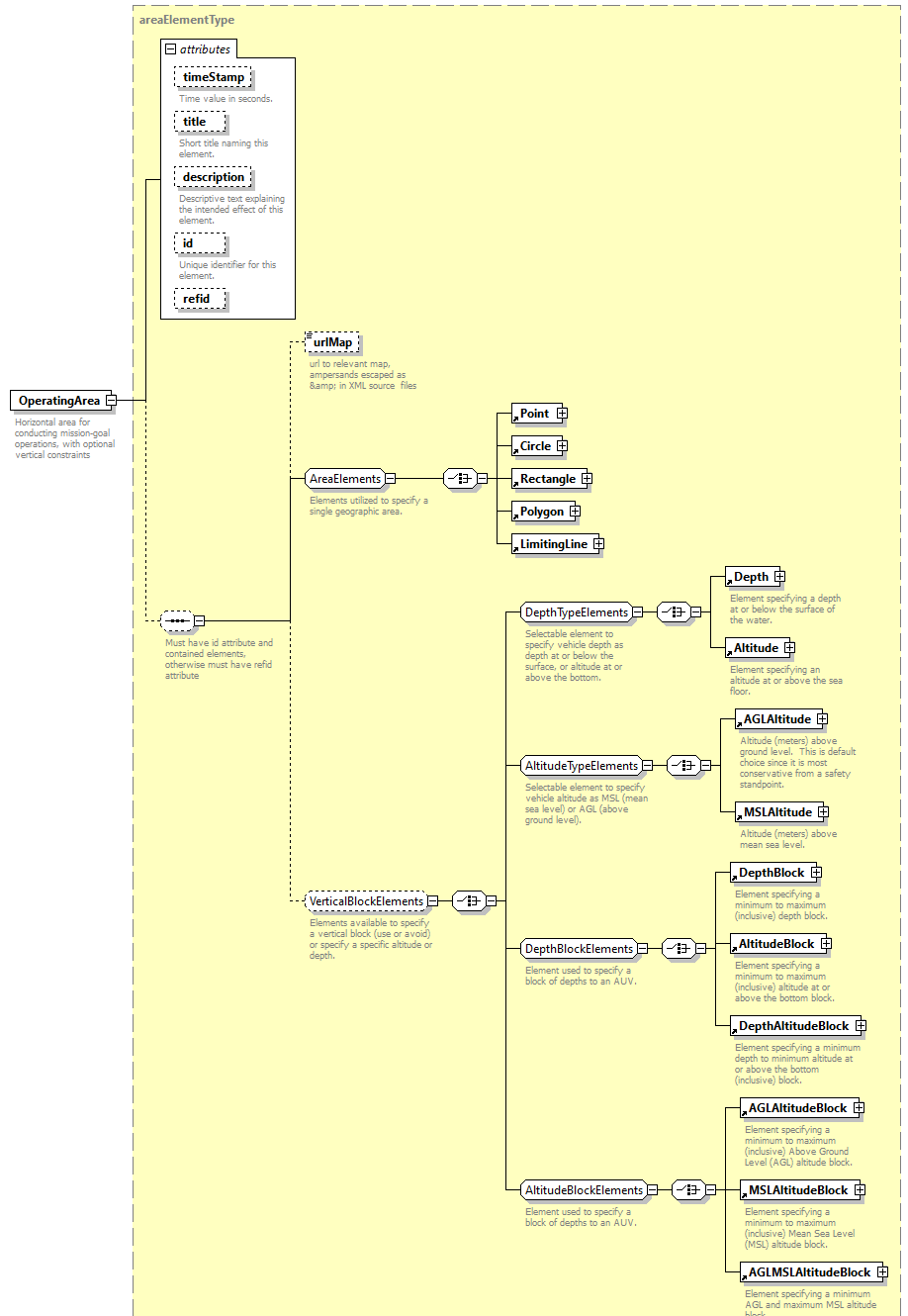 |
||||||||||||||||||||||||||||||||||||||||||||
| type | areaElementType | ||||||||||||||||||||||||||||||||||||||||||||
| properties |
|
||||||||||||||||||||||||||||||||||||||||||||
| children | urlMap Point Circle Rectangle Polygon LimitingLine Depth Altitude AGLAltitude MSLAltitude DepthBlock AltitudeBlock DepthAltitudeBlock AGLAltitudeBlock MSLAltitudeBlock AGLMSLAltitudeBlock | ||||||||||||||||||||||||||||||||||||||||||||
| used by |
|
||||||||||||||||||||||||||||||||||||||||||||
| attributes |
|
||||||||||||||||||||||||||||||||||||||||||||
| annotation |
|
||||||||||||||||||||||||||||||||||||||||||||
| source | <xsd:element name="OperatingArea" type="areaElementType"> <xsd:annotation> <xsd:documentation>Horizontal area for conducting mission-goal operations, with optional vertical constraints</xsd:documentation> <!-- TODO review representations for point, line, area, or volume --> </xsd:annotation> </xsd:element> |
XML Schema documentation generated by XMLSpy Schema Editor http://www.altova.com/xmlspy